Buckhorn State Park
State park in Juneau County, Wisconsin
43°56′21″N 90°0′14″W / 43.93917°N 90.00389°W / 43.93917; -90.00389
Buckhorn State Park is a 6,990-acre (2,829 ha) Wisconsin state park southeast of Necedah. The park occupies a peninsula on Castle Rock Lake, a reservoir formed at the confluence of the Wisconsin and Yellow Rivers.[1]
Gallery
-
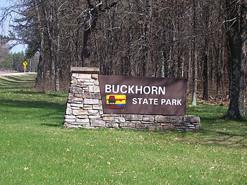 Sign
Sign -
 Sandy area
 -
 Buckhorn Barrens, a State Natural Area
 -
 Office


References
- ^ Adi (January 23, 2023). "Exploring Buckhorn State Park: A 2023 Guide (Hiking And Wildlife Included)". thewhistlingoak.com. Retrieved September 25, 2023.
External links
Wikimedia Commons has media related to Buckhorn State Park.
- Buckhorn State Park
- v
- t
- e
Protected areas of Wisconsin
| National Park Service | |
|---|---|
| National Forests | |
| National Wildlife Refuges | |
| National Trails |
|
| National Estuarine Research Reserves | |
| National Marine Sanctuaries | |
| National Wild and Scenic Rivers |
|
| National Wilderness Preservation System |
|
| State Parks |
|
|---|---|
| State Natural Areas |
|
| State Recreation Areas | |
| State Forests | |
| State Historical Sites |
|
| State Wildlife Areas |
|
| Authority control databases: National |
|
|---|
 | This article about a location in Juneau County, Wisconsin is a stub. You can help Wikipedia by expanding it. |
- v
- t
- e
This article related to a protected area in Wisconsin is a stub. You can help Wikipedia by expanding it. |
- v
- t
- e


 Buckhorn_State_Park