Silsilah ye Koh e Hindukush

Hindukush
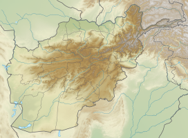
Location in the Hindu Kush
Devon Koh-e Hindukush (Dari: سلسلۀ کوه هندوکش) is a mountain of Hindu Kush in Parwan Province near Baghlan, Afghanistan.
References
- ^ "Devon Koh-e Hindukush Near Baghlan". http://www.mbendi.com/a_sndmsg/facility.asp?I=2262151. Retrieved February 23, 2014.
{{cite web}}: External link in|work=
- v
- t
- e
Parwan Province
Capital: Charikar
- Bagram
- Charikar
- Ghorband
- Jabal Saraj
- Kohi Safi
- Salang
- Sayed Khel
- Shekh Ali
- Shinwari
- Surkhi Parsa

- Ahtaj
- Ashava
- Bagram
- Gulbahar
- Istalif
- Jabal Saraj
- Band-e Hindukush
- Ghorband River
- Koh-e Hindukush
- Kotal e Hindukush
- Kushan Pass
- Salang mountains
- Salang Pass
- Salang River
- Shibar Pass
- Silsilah ye Koh e Hindukush
 | This Parwan Province, Afghanistan location article is a stub. You can help Wikipedia by expanding it. |
- v
- t
- e


 Silsilah_ye_Koh_e_Hindukush